Dear Colleagues,
On behalf of the Ivane Javakhishvili Tbilisi State University, we invite you to join the
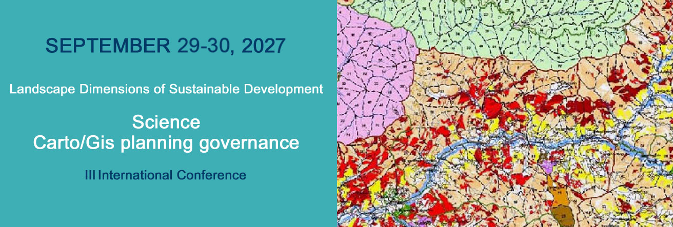
International Conference “Landscape Dimensions of Sustainable Development:
Science – CartoGis - Planning – Governance”.
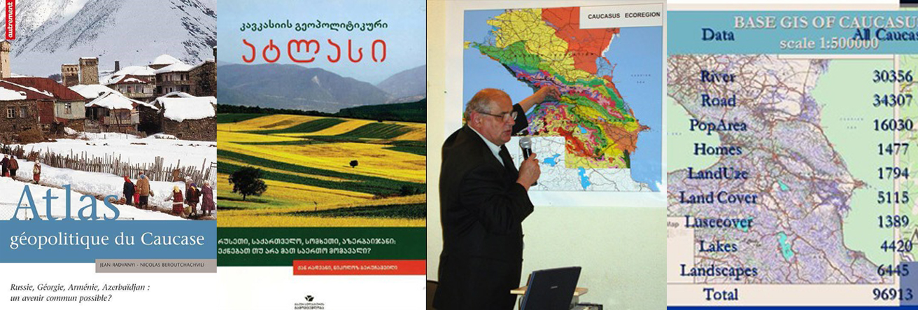
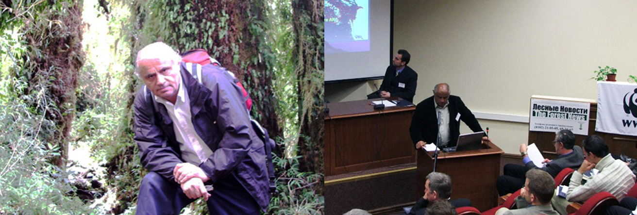
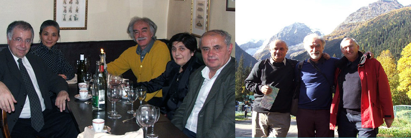
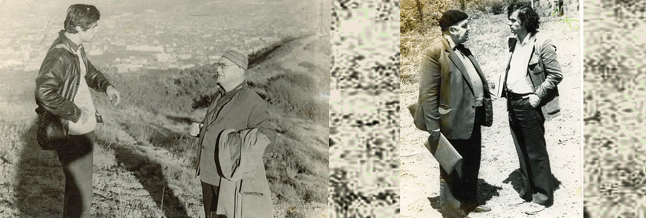
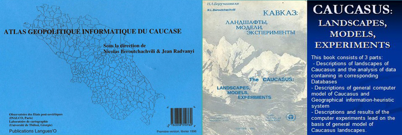
The conference will take place in Tbilisi, Georgia on 12 - 16 September, 2022 to commemorate the 75th anniversary of Nikoloz Beruchashvili (1947-2006), internationally-renowned geographer and cartographer, author of the theory of spatiotemporal analysis and synthesis of landscapes, founding chair of the International Geographical Union (IGU) Commission on Landscape Analysis, professor at the Tbilisi State University
The conference will aim to consolidate and develop the innovative trends in the theory and practice of geography that were launched by Professor Beruchashvili and his followers, so as to enhance their contribution to the achievement of the UN Sustainable Development Goals. The purpose of this conference is to share your experiences, knowledge and research results
The conference is being organized by Tbilisi State University jointly with the Geographical Society of Georgia and the International Geographical Union (IGU) Commission on Landscape Analysis and Landscape Planning and in collaboration with the Georgian Cartographers Association and Mountain Partnership.
Working languages of the conference are: English, Georgian, and Russian.
Conference materials will be published in the form of Collected Papers.
The Conference consists of plenary sessions, sections and "round table". The format of the event also includes discussions and question-answers.
Topics
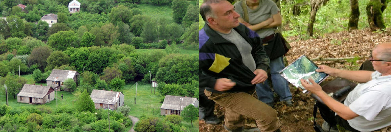
The topics of the conference include but are not limited by following: Physical and socio-economic geography, Historical geography, Cartography; Landscape cartography; GIS analysis; Landscapes and GIS analysis; Geodesign; Landscape perception and visualization; Climate change and landscape dynamics; Basic problems of modern hydrology; Assess the current state of water resources; Forecast of the state of water resources and their rational use; Conservation of landscapes; Restoring landscapes; Landscape planning; Landscape dynamics; Landscape degradation / degraded landscapes; Agro-landscapes; Landscape sustainability; Ecology; Landscape architecture; Landscape ethics; Infrastructure and landscape; Landscape history; Agricultural landscapes and agroforestry; Anthropogenic impact on landscape; Applied geoecology; Historical ecology; Ecosystems and ecosystem services; Biogeography; Conservation biology and landscape diversity; Cultural landscapes; Natural heritage and ecotourism; Surface observation and remote sensing of the Earth; Environmental policy and management; Geopolitics and landscape; Land policy and management; Education; Water catchment basins; Environmental governance; Landscape space-time analysis and synthesis; Landscape and sustainable development goals; Forest sustainable management at landscape level; Urban landscapes and urban development, etc..., etc..
Thank you for joining us to the International Scientific Conference
“Landscape Dimensions of Sustainable Development: Science – CartoGis - Planning – Governance”
![]()
GEOGRAPHICAL
SOCIETY OF GEORGIA (GSG)
![]()
INTERNATIONAL
GEOGRAPHICAL UNION (IGU)
![]()
![]()